AWARD-WINNING NATURE-TECH
Get Powered by eOceans
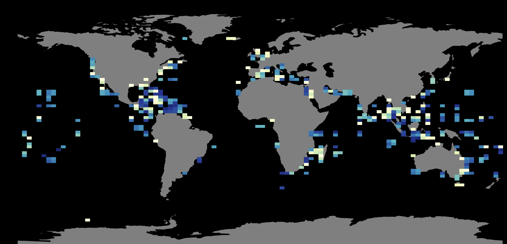
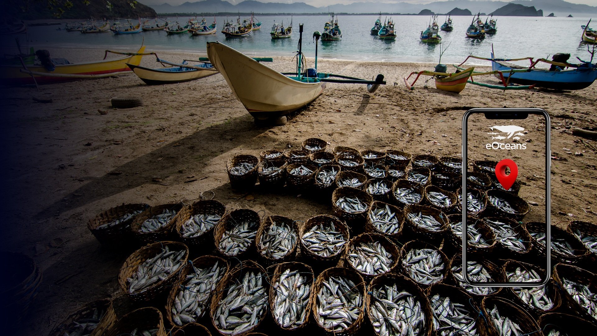
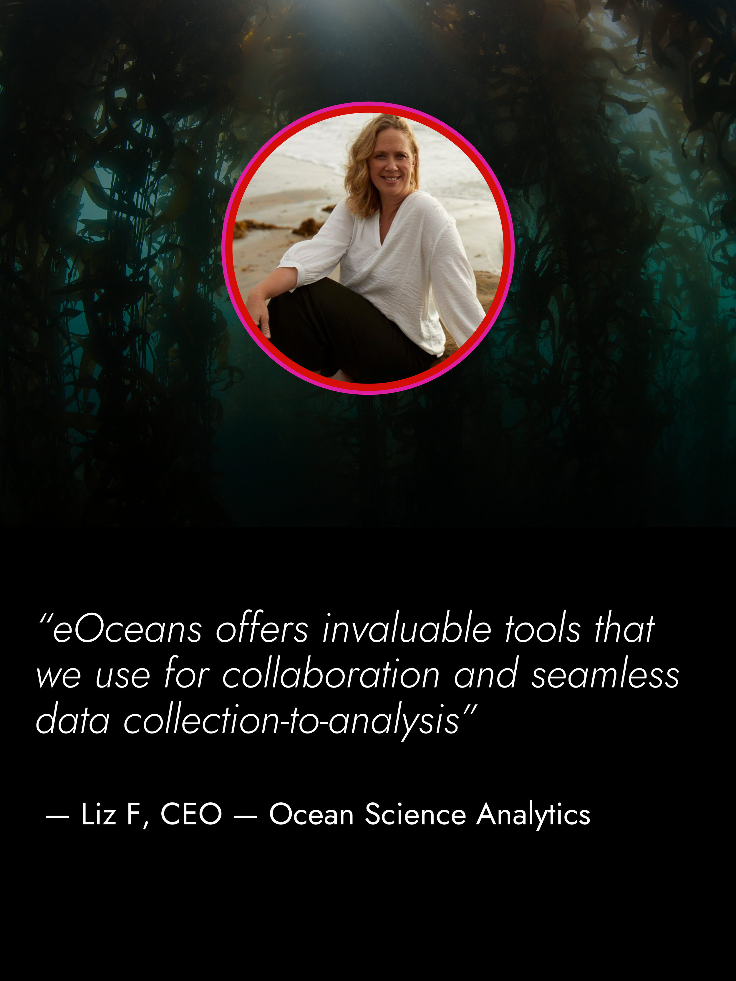
Turn trusted fish and fisheries data flows into decision-ready insight—expand capacity and get ahead in today’s fast-changing, high-stakes systems.


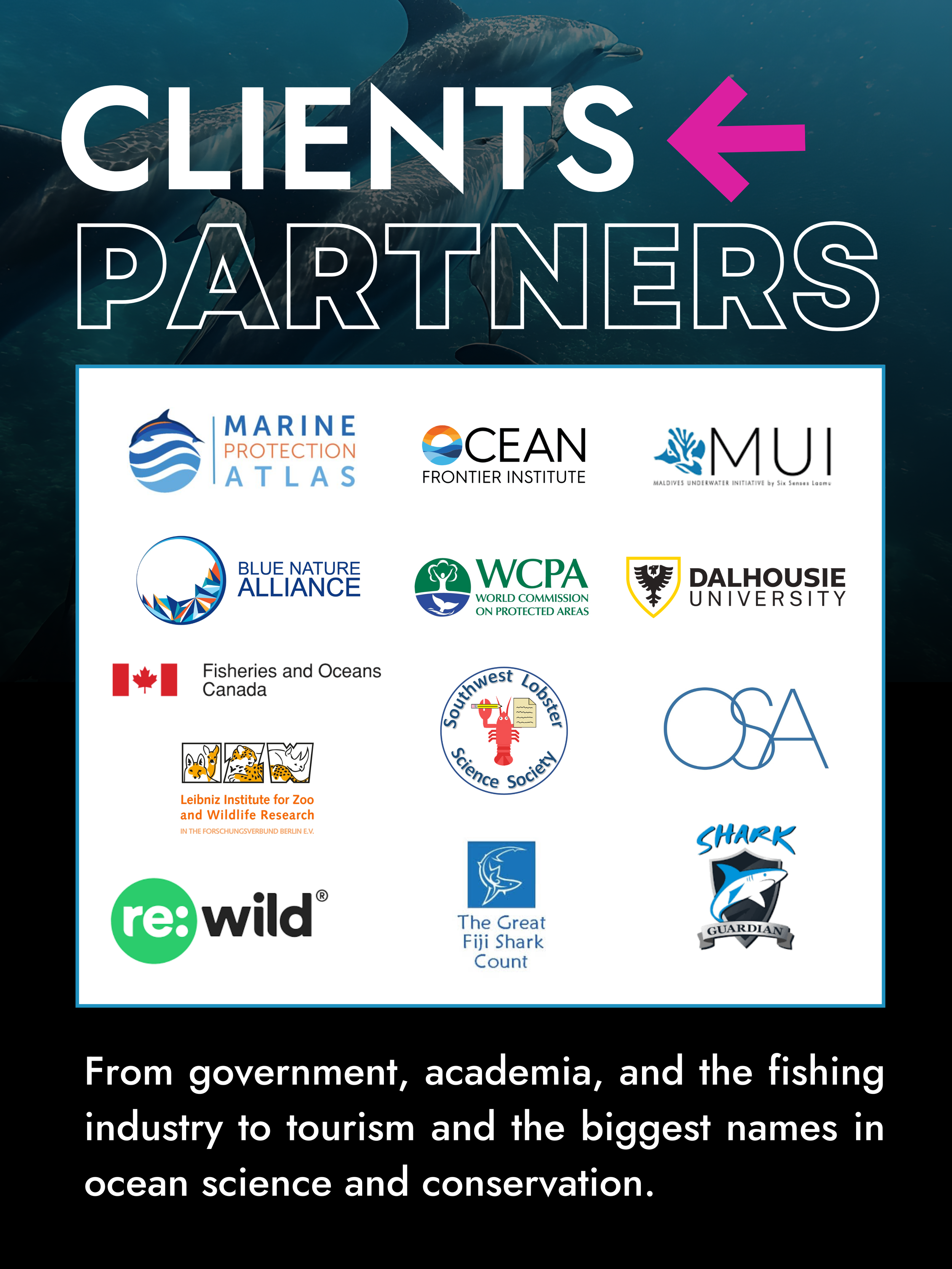
eOceans® works where you work.


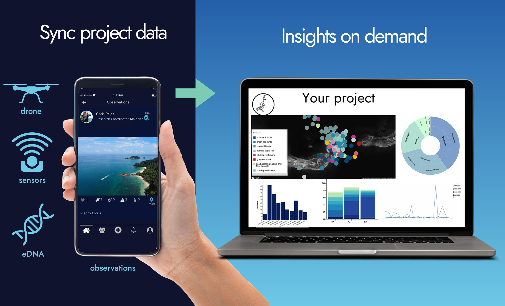
Launch, run, and scale — all in one place.
Track and manage fisheries monitoring, assessments, and reporting in one system—ensuring transparent, defensible, and trusted results.
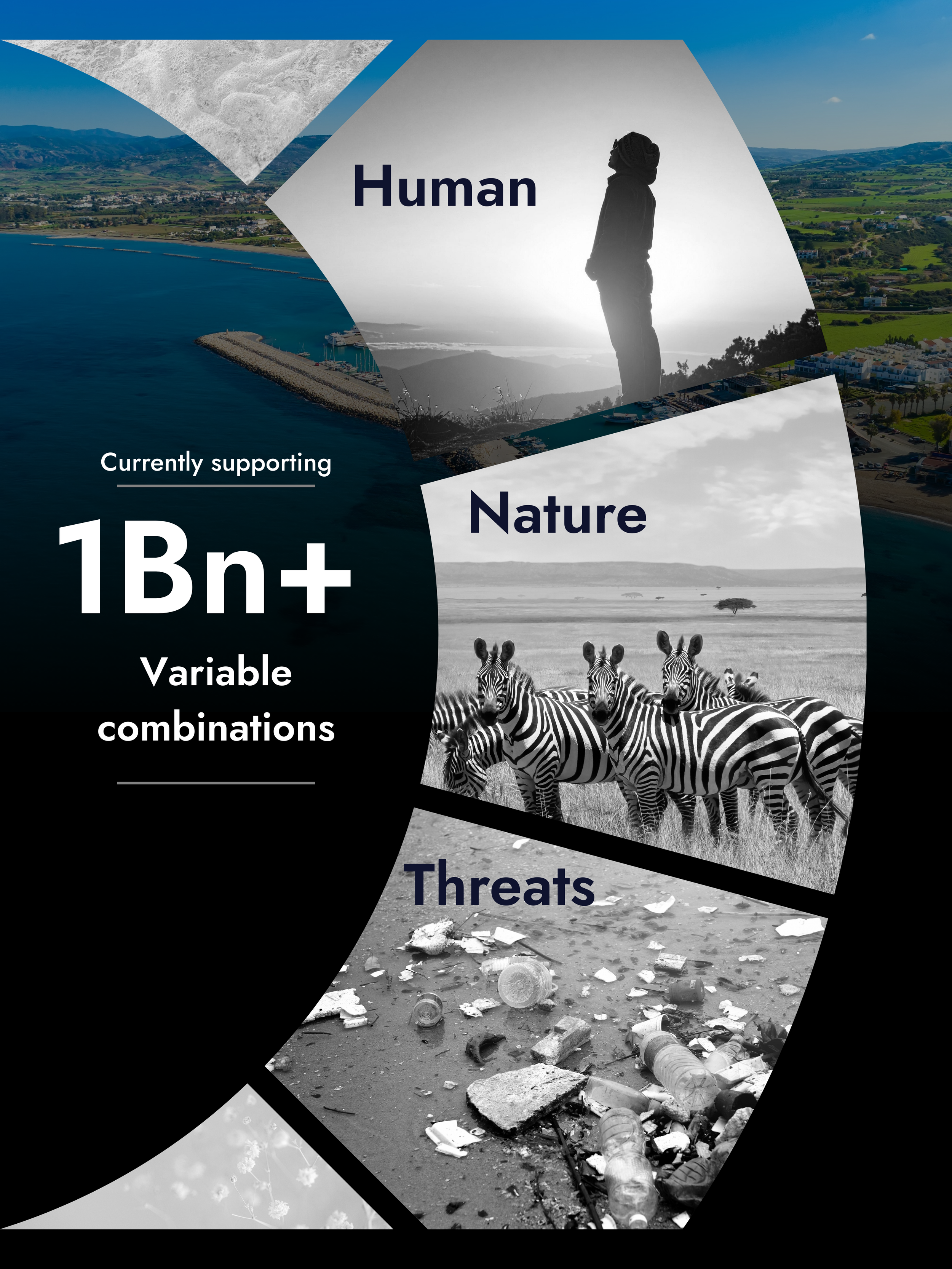
✓ Your study area, variables, data sources
✓ Clean, interoperable data
✓ Interactive, no code insights
✓ Verifiable, traceable results
✓ Darwin Core standards
✓ Amplified team capacity
✓ Ethical, trusted partnerships
✓ Measurable impact
→ Powered by eOceans®
eOceans® is the first [patent-pending] data-to-dissemination platform designed for any team to work faster, stay aligned, and answer complex questions—all in one place.


“After decades working as a scientist for industry, government, and academia, I saw how manual, siloed, black-box processes led to delayed results, misguided policies, mistrust, greenwashed investments, and conflict.
I built eOceans® as the all-in-one knowledge-flow system to fix this.”
Dr. Christine Ward-Paige, CEO eOceans